User:Qyd/Maps
From Wikipedia, the free encyclopedia
| Navigation - Qyd (talk · contribs) | ||||||
| User page | Tool box | Sand box | Template Sandbox | Map Gallery | Pictures Gallery | Talk page |
Canada
 Province maps of Canada
 Census Divisions of Canada
 National Parks of Canada
 Rivers in Canada
 Hidrographic Network of Canada
 Canada Major Highways
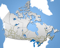 Railroad tracks in Canada


Flag maps


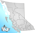
British Columbia
 Grater Vancouver Area divsions
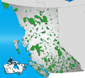 National and Provncial parks in BC
 Vancouver Island Districts
 Fraser River watershed
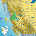 Skeena River watershed


Alberta

 National and provincial parks of AB
 Road network of AB

 Kananaskis Parks
 Calgary City map
 Edmonton City map
 Calgary +15 system


Other
 Census Divisions in Saskatchewan
 Census Divisions in Manitoba
 Road in Cuba
 Romance languages worldwide extent
 District maps of Romania
 Gulf Islands, BC
 Peace River watershed


.png)


Relief maps
 Shaded relief of British Columbia
 Relief of Alberta
 Relief of Saskatchewan
 Relief of Manitoba
 Relief of Ontario
 Relief of Quebec
 Relief of Newfoundland and Labrador
 Vancouver Island Relief
 Relief and water in Western Canada
 Shaded relief - Pacific Northwest
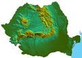 Shaded relief of Romania


