Fort Devens (CDP), Massachusetts
From Wikipedia, the free encyclopedia
Fort Devens, Massachusetts | |
|---|---|
Former CDP | |
 Interactive map of Fort Devens, Massachusetts | |
| Coordinates: 42°32′14″N 71°36′56″W / 42.53722°N 71.61556°W | |
| Country | United States |
| State | Massachusetts |
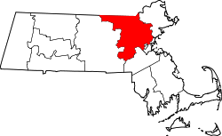
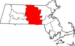
| County | Middlesex Worcester |
| Area | |
• Total | 3.25 sq mi (8.43 km2) |
| • Land | 3.21 sq mi (8.31 km2) |
| • Water | 0.046 sq mi (0.12 km2) |
| Elevation | 614 ft (187 m) |
| Population (2000) | |
• Total | 1,017 |
| • Density | 317/sq mi (122.4/km2) |
| Time zone | UTC-5 (Eastern (EST)) |
| • Summer (DST) | UTC-4 (EDT) |
| Area code | 508 |
Fort Devens was a census-designated place (CDP) in the towns of Ayer and Shirley, in Middlesex County and Harvard in Worcester County in the U.S. state of Massachusetts. It encompassed the former Fort Devens. The population was 1,017 at the 2000 census. Prior to the 2010 census, the area was redefined as the Devens census-designated place.