Fort Hill, Oregon
From Wikipedia, the free encyclopedia
Fort Hill | |
|---|---|
 Interactive map of Fort Hill | |
| Coordinates: 45°04′01″N 123°33′38″W / 45.06694°N 123.56056°W | |
| Elevation | 105 m (345 ft) |
| Population | |
• Estimate (2020) | 154 |
| Area code(s) | 541 & 458 |
| GNIS feature ID | 2629773[1] |
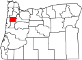
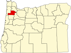
Fort Hill is an unincorporated community in Polk and Yamhill counties in Oregon, United States.[1] It is located about a mile east of Spirit Mountain Casino on Oregon Route 22 near the South Yamhill River. For statistical purposes, the United States Census Bureau has defined Fort Hill as a census-designated place (CDP).[2] As of the 2020 census, Fort Hill had a population of 154.[3] The census definition of the area may not precisely correspond to local understanding of the area with the same name. The hill of the same name,[4] located just east of Valley Junction, was the site of a blockhouse built by settlers in 1855–1856.[5] The blockhouse became part of Fort Yamhill, and was later moved to Grand Ronde Agency and is now located in Dayton.[5]