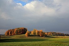
Karula Upland From Wikipedia, the free encyclopedia Upland in Estonia Karula Upland Karula Upland (Estonian: Karula kõrgustik) is hilly area of higher elevation in Southern Estonia.[1] Upland's area is about 350 square kilometres (140 sq mi).[1] The highest point of upland is Tornimägi (137 m).[1] 1 2 3 "Estonica.org - Karula kõrgustik". www.estonica.org (in Estonian). Retrieved 7 April 2020. 57°42′52″N 26°29′12″E / 57.7144°N 26.4867°E / 57.7144; 26.4867 This Estonia location article is a stub. You can help Wikipedia by expanding it.vte Related Articles
 Karula Upland
