Krummendeich
From Wikipedia, the free encyclopedia
Krummendeich
Krummendeich (German) Krummendiek (Low Saxon) | |
|---|---|
 Church of St. Nicolai (St. Nicholas) | |
Location of Krummendeich
within Stade district 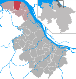 | |
 Location of Krummendeich | |
 Krummendeich  Krummendeich | |
| Coordinates: 53°49′52″N 9°12′38″E / 53.831138°N 9.210632°E | |
| Country | Germany |
| State | Lower Saxony |
| District | Stade |
| Municipal assoc. | Nordkehdingen |
| Government | |
| • Mayor | Johann-Heinrich Feil (CDU) |
| Area | |
• Total | 30.03 km2 (11.59 sq mi) |
| Elevation | 2 m (6.6 ft) |
| Population (2023-12-31)[1] | |
• Total | 502 |
| • Density | 16.7/km2 (43.3/sq mi) |
| Time zone | UTC+01:00 (CET) |
| • Summer (DST) | UTC+02:00 (CEST) |
| Postal codes | 21732 |
| Dialling codes | 04779 |
| Vehicle registration | STD |
| Website | www.nordkehdingen.de |
Krummendeich (German pronunciation: [ˈkʁʊməndaɪç]; Low German: Krummendiek) is a municipality in the district of Stade, in Lower Saxony, Germany.
