Pecan Point, Arkansas
From Wikipedia, the free encyclopedia
Pecan Point, Arkansas | |
|---|---|
 Pecan Point  Pecan Point | |
| Coordinates: 35°28′39″N 90°02′21″W / 35.47750°N 90.03917°W | |
| Country | United States |
| State | Arkansas |
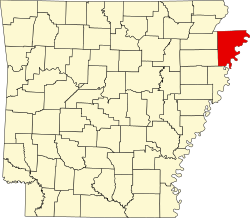
| County | Mississippi |
| Elevation | 236 ft (72 m) |
| Time zone | UTC-6 (Central (CST)) |
| • Summer (DST) | UTC-5 (CDT) |
| Area code | 870 |
| GNIS feature ID | 58340[1] |
Pecan Point is an unincorporated community in Mississippi County, Arkansas, United States. Pecan Point is located on Arkansas Highway 118, 6.4 miles (10.3 km) east-southeast of Joiner.[2]
In the late 1880s, local planter G.W. Pratt built and operated a tramway in the area for the purposes of harvesting timber. By 1890, the tramway's line was two miles long and used 14 men to operate it.[3]