Pierpont, Monongalia County, West Virginia
From Wikipedia, the free encyclopedia
Pierpont, West Virginia | |
|---|---|
 Pierpont, West Virginia  Pierpont, West Virginia | |
| Coordinates: 39°39′14″N 79°53′22″W / 39.65389°N 79.88944°W | |
| Country | |
| State | |
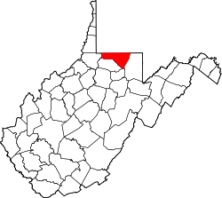
| County | |
| Elevation | 1,247 ft (380 m) |
| Time zone | UTC-5 (Eastern (EST)) |
| • Summer (DST) | UTC-4 (EDT) |
| Area codes | 304 & 681 |
| GNIS feature ID | 1544807[1] |
Pierpont is an unincorporated community in Monongalia County, West Virginia, United States. Pierpont is located on County Route 67 near Interstate 68, 3.9 miles (6.3 km) east-northeast of Morgantown.[2]