Pocahontas, Mississippi
From Wikipedia, the free encyclopedia
Pocahontas, Mississippi | |
|---|---|
 | |
  Pocahontas  Pocahontas | |
| Coordinates: 32°28′28″N 90°17′10″W / 32.47444°N 90.28611°W | |
| Country | United States |
| State | Mississippi |
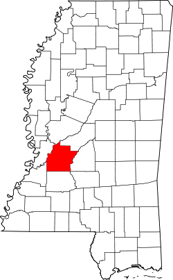
| County | Hinds |
| Elevation | 243 ft (74 m) |
| Time zone | UTC-6 (Central (CST)) |
| • Summer (DST) | UTC-5 (CDT) |
| ZIP code | 39072 |
| Area code | 601 |
| GNIS feature ID | 676161[1] |
Pocahontas is an unincorporated community located in northern Hinds County, Mississippi on U.S. Route 49. It is located 5 miles (8.0 km) south of Flora and 9 miles (14 km) north of Jackson and part of the Jackson Metropolitan Statistical Area. Pocahontas has a ZIP code 39072.

Pocahontas was founded in the 1880s, and named after Pocahontas, the Native American Indian woman.[2] Pocahontas is located on the Canadian National Railway.[3]
Two sites in Pocahontas are listed on the National Register of Historic Places: Pocahontas Mounds[4] and Sub Rosa.[5]