Pokegama, Minnesota
From Wikipedia, the free encyclopedia
Pokegama
Bakegamaang | |
|---|---|
 Pokegama Location of the community of Pokegama within Pokegama Township, Pine County  Pokegama Pokegama (the United States) | |
| Coordinates: 45°49′18″N 93°02′54″W / 45.82167°N 93.04833°W | |
| Country | United States |
| State | Minnesota |
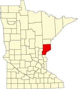
| County | Pine |
| Township | Pokegama Township |
| Elevation | 932 ft (284 m) |
| Population | |
• Total | 70 |
| Time zone | UTC-6 (Central (CST)) |
| • Summer (DST) | UTC-5 (CDT) |
| ZIP code | 55030 and 55063 |
| Area code | 320 |
| GNIS feature ID | 649613[1] |
Pokegama (/pəˈkɛɡɒˌmɑː/) is an unincorporated community in Pokegama Township, Pine County, Minnesota, United States; along the southern shores of Pokegama Lake. Its name in Ojibwe is Bakegamaang, meaning "at the side-lake", referring to Pokegama Lake's position to the Snake River.
The community is located between Pine City and Henriette along Pokegama Lake Road (County Road 7), between Brook Park Road (County Road 13) and Tigua Road (County Road 53).[2]