List of districts and sub-districts in Badung Regency
From Wikipedia, the free encyclopedia
| This article is part of a series on |
| Subdivisions of Indonesia |
|---|
| Level 1 |
|
| Level 2 |
|
| Level 3 |
| (kecamatan, distrik, kapanewon, or kemantren) |
| Level 4 |
| (desa or kelurahan) |
| Others |
The following is a list of districts and villages in Badung Regency. Badung Regency comprises 6 districts, sub-divided into 16 urban (kelurahan) and 46 rural (desa) villages.[1][2] As at mid 2025, the population was officially estimated at 539,718, with an area of 398,75 km² and a density of 1,353.5 people per km2.[3]
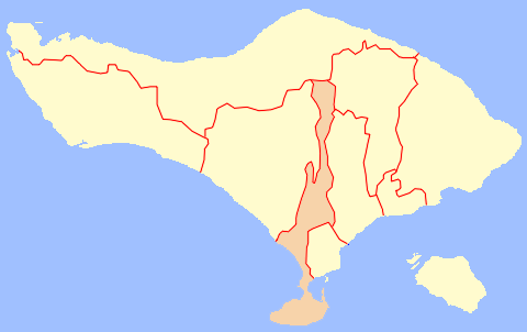 Map of Badung Regency in Bali
 Map of districts in Badung Regency


List of districts and villages in Badung Regency as follows:
| Code | Districts | Urban villages | Rural villages | Status | List |
|---|---|---|---|---|---|
| 51.03.03 | Abiansemal | - | 18 | Rural villages | |
| 51.03.01 | Kuta | 5 | - | Urban villages | |
| 51.03.05 | South Kuta | 3 | 3 | Rural villages | |
| Urban villages |
|||||
| 51.03.06 | North Kuta | 3 | 3 | Rural villages | |
| Urban villages |
|||||
| 51.03.02 | Mengwi | 5 | 15 | Rural villages | |
| Urban villages |
|||||
| 51.03.04 | Petang | 7 | Rural villages | ||
| TOTAL | 16 | 46 |