List of trading posts in Colorado
From Wikipedia, the free encyclopedia


The 64 counties of the U.S. State of Colorado.
This is a partial list of trading posts established in what is now the U.S. State of Colorado from 1828 to approximately 1868. The 24 historic trading posts in Colorado traded goods produced outside the region to Native Americans for furs, food, and locally made goods. Trading posts also sold goods to travellers and settlers.
This is a sortable table of some of the historic trading posts in Colorado. Select the OpenStreetMap link in the box at right to view a map showing the location these trading posts.
Gallery
 Reconstruction of Bent's Old Fort.
 Reconstruction of Fort Vasquez.
 Marker at site of Fort Saint Vrain.
 Sketch of Fort Lupton.
 Sketch of Bent's New Fort.


Maps
 A map of the United States from 1828 to 1834.
 A map of the United States in 1836.
 A map of the United States from 1845 to 1846.
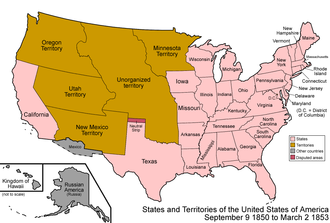 A map of the United States from 1850 to 1853.
 A map of the United States from 1854 to 1858.
 A map of the United States in 1861.
 A map of the United States from 1865 to 1866.
 A map of the United States from 1867 to 1868.


